
Weather
Visibility, wind, and changing conditions can affect whether aerial work is appropriate.
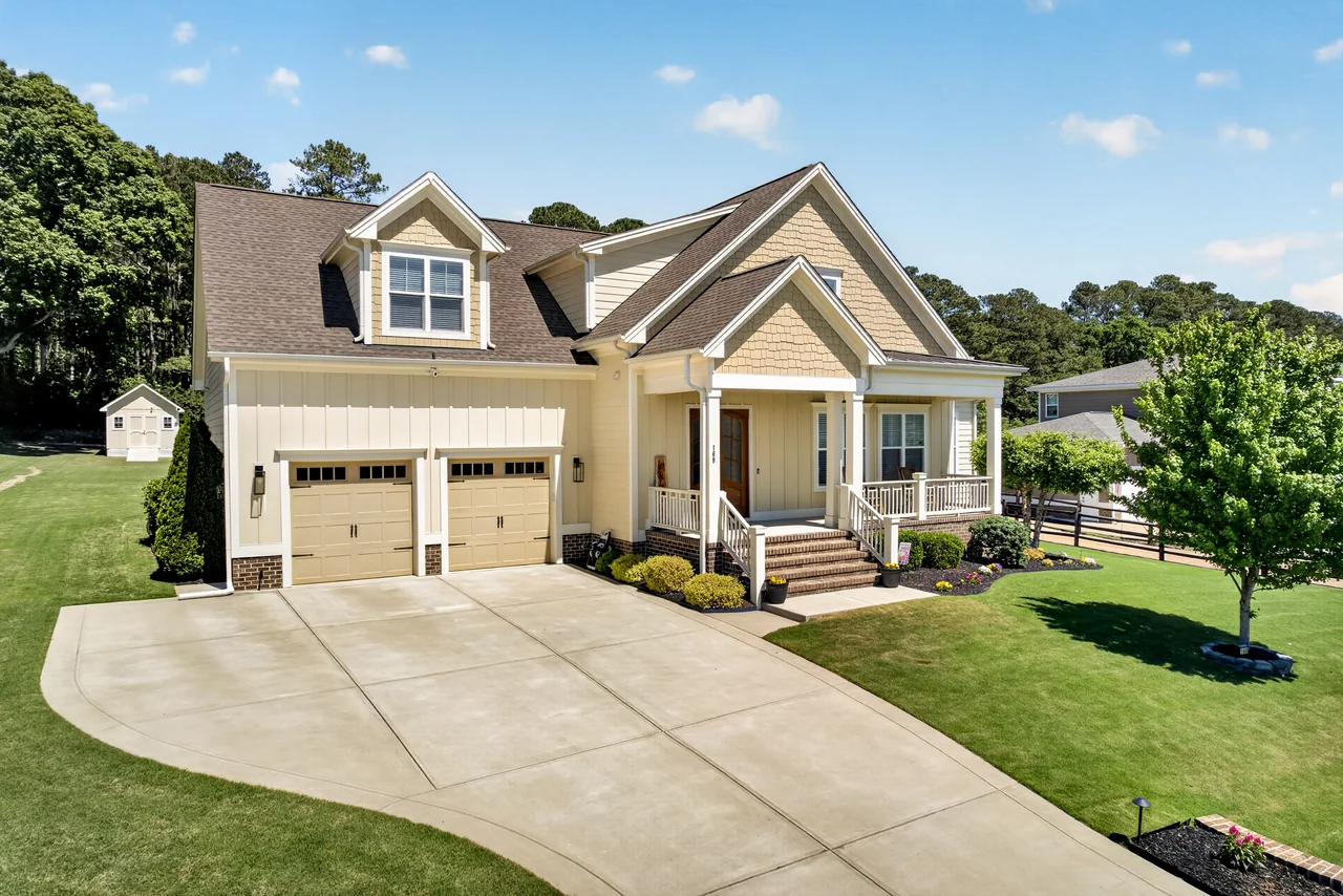
Aerial Photo & Video
A higher viewpoint can explain land, access, surroundings, amenities, and scale when ground-level media cannot tell the complete story.
Order Listing MediaContext changes the story
Aerial work can clarify land, access, surroundings, and the scale between buildings and outdoor spaces. It adds context rather than replacing ground-level photography.
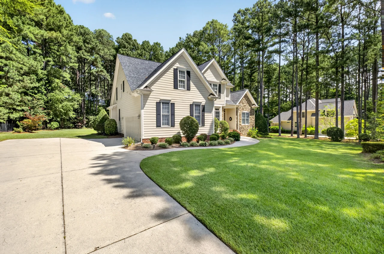
Photo and motion
Aerial stills establish context quickly. Aerial motion can connect approach, property, and surroundings within a listing-video sequence.
Visibility, wind, and changing conditions can affect whether aerial work is appropriate.
Location, surroundings, access, and other considerations must be assessed for the specific property.
Aerial coverage is situation-dependent and is not promised generically for every property.
Frequently asked questions
It is most useful when land, access, nearby amenities, neighborhood relationships, or the scale of a property cannot be understood clearly from ground-level media alone.
No. Weather, airspace, safety, site conditions, and other operational considerations can affect whether and how aerial work is possible.
Photo and video applications are both supported, but current ordering choices and service combinations should be confirmed through the listing-media order path.
Usually not. Aerial media explains context and scale; ground-level photography remains important for rooms, details, and the lived experience of the property.